
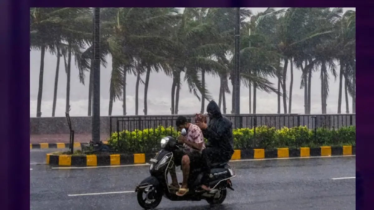
New Delhi, November 4, 2026: The weakening of Cyclone Murasu has brought down the immediate risk from destructive cyclone-force winds, but the weather system continues to influence rainfall across several southern and central Indian states. The IMD has warned of heavy to very heavy showers in parts of Coastal Andhra Pradesh and Telangana, while isolated heavy rainfall is also likely over South Interior Karnataka, Coastal Karnataka, Tamil Nadu and neighbouring regions.
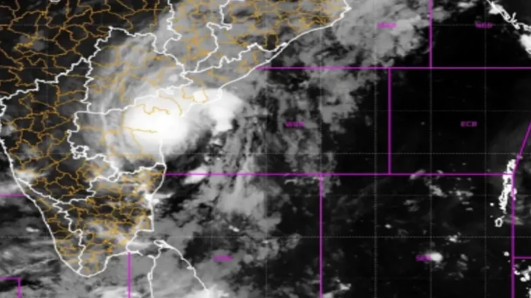
The storm made landfall on the Andhra Pradesh coast near the Ongole region on November 3 before moving inland and weakening. The IMD’s latest bulletin described the remnant system as a depression over east Telangana and adjoining Coastal Andhra Pradesh. It was expected to weaken further into a well-marked low-pressure area during the following 12 hours.
States and regions under watch
Coastal Andhra Pradesh and Telangana remained among the areas facing the strongest rainfall risk on Wednesday. South Odisha and South Chhattisgarh were also included in the IMD outlook for isolated heavy rain. In Karnataka, the department indicated a possibility of heavy rainfall in Coastal Karnataka on November 4 and South Interior Karnataka during November 4–6. Tamil Nadu and Puducherry may also experience showers, thunderstorms and lightning during the coming days.
These forecasts are district-sensitive. A warning for a state does not mean every town will receive the same amount of rain. Residents should check the latest district-level colour-coded warning before travelling or making outdoor plans.
Why a weakened cyclone can still cause flooding
Even after a cyclone loses its organised circulation, its moisture-rich cloud bands can continue producing intense rainfall. When heavy showers arrive over already saturated ground, drainage systems may struggle to cope. Urban roads, low-lying colonies, agricultural fields and river catchments can therefore remain vulnerable after the strongest winds have passed.
Localised flooding can also occur away from the storm’s centre. Drivers should never enter water-covered roads when depth or current is uncertain. Residents should keep away from storm drains, culverts and swollen streams. Farmers may need to move livestock and equipment away from low-lying areas.
Travel and safety advice
Railway passengers should check train status, while airline passengers should confirm flight updates directly with their carriers. Motorists should allow extra travel time, use headlights in heavy rain and avoid stopping under trees or unstable structures during thunderstorms. Do not touch fallen power lines or attempt to remove branches tangled with electrical cables.
Fishermen should follow official sea-condition advisories and restrictions. Families in vulnerable areas should keep emergency contacts, drinking water, medicines and torches ready. Any evacuation direction from local authorities should be followed promptly.
What happens next? The IMD expects the depression to weaken further, but rainfall warnings remain relevant while the remnant circulation and associated moisture persist. Readers should rely on official IMD bulletins and state disaster-management announcements rather than viral posts or unverified forecast maps.
Sources: IMD press release dated November 4, 2026; IMD national weather bulletin; state disaster-management advisories. Forecasts can change as the system weakens.


Comments