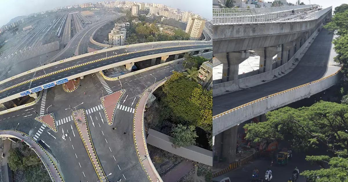
The Silk Board double-decker flyover in Bengaluru spans 3.36 km and aims to ease congestion at the notorious Central Silk Board Junction. Here are the key details:
Route: The flyover starts at the Ragigudda metro station and runs until Silk Board Junction below the Yellow Line, which is slated to open this December.
Ramps: The flyover has a total of five ramps. Two ramps (D and E) are still under construction and are expected to complete by May 2025.
Smooth Ride: The 2+2-lane flyover provides a smooth ride and features three U-turns.
Metro Stations: Three metro stations (Jayadeva Hospital, BTM Layout, and Silk Board Junction) are situated midway, but commuters cannot access them directly from the flyover.
Traffic Impact: The flyover will significantly ease morning rush-hour congestion from Ragigudda and BTM Layout to Hosur Road and HSR Layout, reducing travel time from 30-45 minutes to just five minutes. However, evening rush-hour traffic may see little impact due to incomplete ramps D and E.
Night Ban: The traffic police are considering closing the flyover from 10 pm to 5 am to prevent accidents. They also plan to install a watchtower at the end of Ramp A for emergencies.
FAQ Section:
Q1: What are the operational hours of the Silkboard Double Decker Flyover? A: The Silkboard Double Decker Flyover operates 24 hours a day, with specific night ban restrictions from 10 PM To 5 AM
Q2: Why is there a night ban on the Silkboard Double Decker Flyover? A: The night ban is implemented to reduce noise and pollution during late hours and to ensure safety.
Q3: What are the alternative routes during the night ban on the Silkboard Flyover? A: Alternative routes include below the flyover, which can be used during the night ban hours.
Q4: How can I get real-time traffic updates for the Silkboard Flyover? A: You can use apps like Google Maps and Waze for real-time traffic updates and route planning.
